Stampe
Admiralty Charts
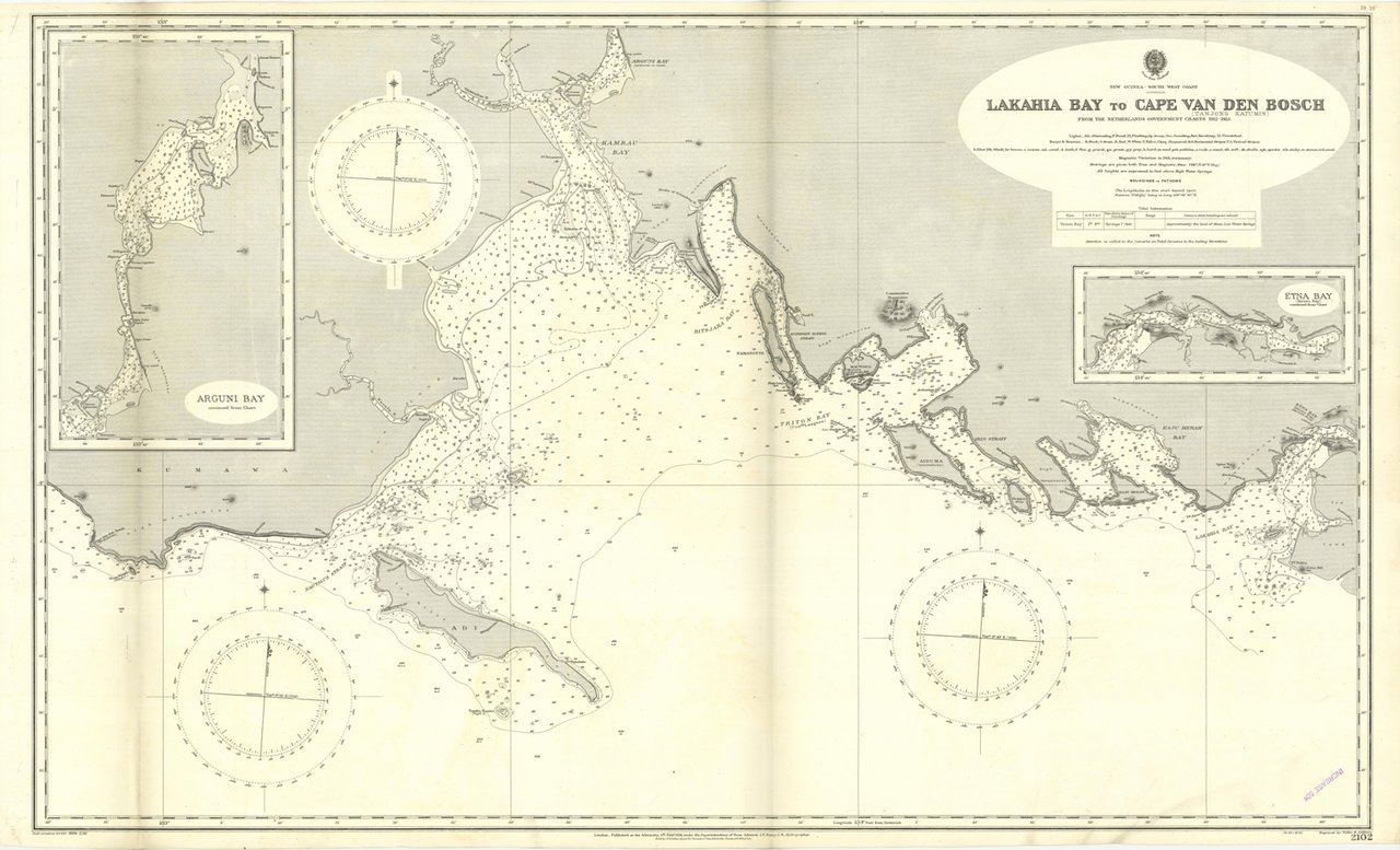
Lakahia Bay to Cape Van Den Bosch
150,00 €
Trippini Sergio Libreria
(Gavirate, Italia) Parla con il LibraioMetodi di Pagamento
- PayPal
- Carta di Credito
- Bonifico Bancario
-
-
Scopri come utilizzare
il tuo bonus Carta del Docente -
Scopri come utilizzare
il tuo bonus 18App
Dettagli
Formato
mm 650x1065
Edizione
'900
Disegnatori
Admiralty Charts
Descrizione
Lakahia Bay to Cape Van Den Bosch from the Netherlands Government charts 1912-1913. In the upper left corner Arguni Bay continued from Chart. In the right side of the chart Etna Bay continued from Chart.London Published at the Admiralty 5th Feb. 1918, under the Superintendence of Rear Admiral J.F. Parry, Hydrographer. Small corrections: 1924. Editorially folded
Anno di pubblicazione: '900
Anno di pubblicazione: '900

