Dettagli
Anno di pubblicazione
2001
Descrizione
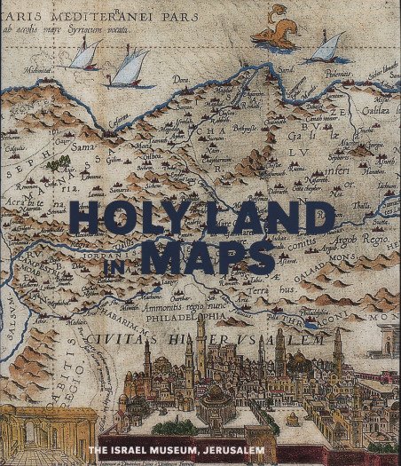
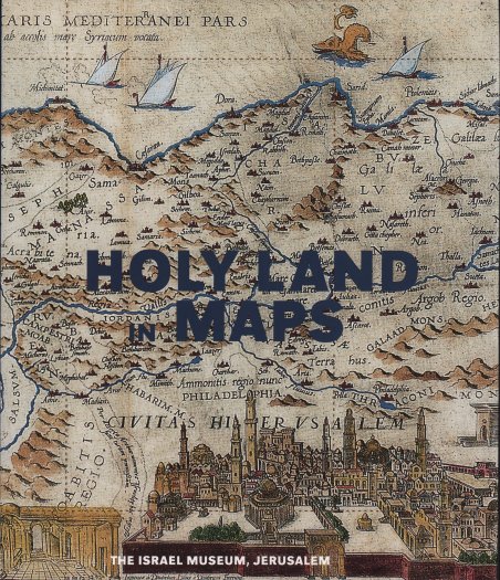
Il catalogo "Holy Land in Maps" ' riassume al suo interno la storia della cartografia stessa. Situata al crocevia tra Africa, Asia ed Europa, la Terra Santa è stata al centro di un intenso traffico di scambi culturali e interessi commerciali per innumerevoli generazioni. Due principali tradizioni cartografiche dominano questa affascinante storia: quella religiosa, basata principalmente sulla Bibbia e sulle sue esegesi; e la tradizione classica, rappresentata da Tolomeo, che ha posto le basi della cartografia moderna. Questo volume ricostruisce per la prima volta un panorama storico delle mappe della Terra Santa: da un mosaico giordano del VI secolo; attraverso le prime mappe ebraiche, cristiane e islamiche; alle mappe del recente passato. All'interno del volume sono esaminate il planisfero ' di Hereford del XIII secolo, con Gerusalemme al centro, e l'Atlante catalano del XIV secolo, disegnato su pergamena. Le mappe anonime ceche e italiane del XVI secolo sono seguite da mappe tedesche, olandesi, britanniche e francesi dell'età dell'Illuminismo. Per arrivare, infine, alle rappresentazioni cartografiche del XIX e XX secolo, culminate con l'avvento delle immagini satellitari ad alta tecnologia. Queste rappresentazioni grafiche manifestano i cambiamenti geografici e politici che hanno segnato questa regione nel corso dei secoli. Lingua inglese, copertina rigida con sovraccoperta, 170 pagine con illustrazioni, 2001. A cura di Ariel Tishby Edito da: The Israel Museum, Jerusalem [Israel Museum catalogue no. 459] ISBN: 965-278-269-6 The history of the mapping of the Holy Land epitomizes the history of cartography itself. Situated at the crossroads of Africa, Asia, and Europe, the Holy Land has been the focus of intense interest for countless generations; under its various names - Canaan, The Promised Land, Palestine, or Terra Sancta - it evinces the longest unbroken sequence of mapping in the world. Two principal cartographic traditions dominate this fascinating history: the religious one, based primarily on the Bible and its exegeses; and the classical tradition, represented by Ptolemy, which laid the foundations of modern cartography. This volume brings together for the first time a historical panorama of the maps of the Holy Land: from a 6th-century mosaic from Jordan; through early Hebrew, Christian, and Islamic maps; to maps of the recent past. We see the 13th-century Hereford World Map, with Jerusalem at its center, and the 14th-century Catalan Atlas, drawn on vellum. Anonymous Czech and Italian maps of the 16th century are followed by German, Netherlandish, British, and French maps from the Age of Enlightenment. We arrive ultimately at cartographic representations of the 19th and 20th centuries, culminating in the advent of high-tech satellite imaging. These graphic representations manifest the geographical and political changes that have marked this region over the centuries, suggesting at one time physical realities, and at another the persistence of imagination in its creative shaping of the world. Evidenced throughout, "Holy Land in Maps" is a testament to the painstaking craftsmanship and often delicate beauty that is a hallmark of the mapmaker's discipline at its best. English language, hardcover with dust wrapper, 170 pages with illustrations, 2001. Edited by di Ariel Tishby Published by: The Israel Museum, Jerusalem [Israel Museum catalogue no. 459] ISBN: 965-278-269-6 Cfr.


Scopri come utilizzare
Scopri come utilizzare

