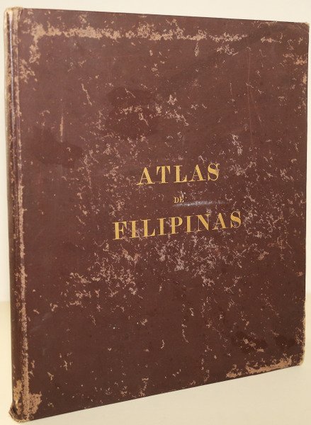
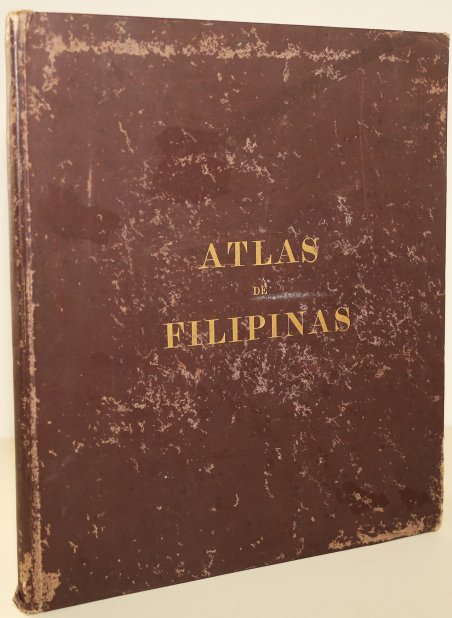
Atlas of the Philippine Islands
Metodi di Pagamento
- PayPal
- Carta di Credito
- Bonifico Bancario
- Pubblica amministrazione
- Carta del Docente
Dettagli
- Anno di pubblicazione
- 1900
- Formato
- 335 X 385
- Incisori
- Algué José Maria
- Soggetto
- Libri Antichi
Descrizione
Questo atlante è stato redatto alla fine degli anni 1880 sotto la supervisione del direttore dell'Osservatorio dei Gesuiti, padre Josè Alguè, S.J. In un periodo in cui non esistevano rilevamenti completi delle isole, i compilatori hanno lavorato scrupolosamente per raccogliere e verificare tutti i dati disponibili da residenti, viaggiatori, esploratori e simili. Disegnatori nativi filippini eseguirono i disegni delle mappe. Quando le Filippine furono cedute agli Stati Uniti nel 1899, gli Stati Uniti riconobbero il valore del progetto e accettarono di pubblicare il lavoro attraverso l'U.S. Coastal and Geodetic Survey, sotto la direzione di Henry Smith Pritchett, nel 1900, rifacendo alcune mappe e includendo un'introduzione e informazioni statistiche. L'atlante consiste di trenta mappe numerate. Ogni mappa rappresenta un aspetto diverso dell'arcipelago. Informazioni generali sono incluse nelle prime 24 pagine dell'atlante, come il numero di isole, le risorse minerarie e agricole, e un indice dei toponimi. José María Algué, (29 dicembre 1856 - 27 maggio 1930), è stato un sacerdote cattolico romano spagnolo e meteorologo dell'osservatorio di Manila. Ha inventato il barociclonometro, il nefoscopio e una specie di microsismografo. Il barociclonometro fu adottato ufficialmente dalla Marina degli Stati Uniti e le navi da guerra della Squadra dell'Atlantico del Nord ne furono dotate intorno al 1914. Padre Algué fu membro onorario della Royal Society di Londra e della Pontificia Accademia Romana. L'atlante è in ottime condizioni. Legatura in tela, titolo in oro sulla copertina anteriore, un po' usurata. This atlas was drawn up in the late 1880s under the supervision of Jesuit Observatory director Fr Joséš Algue, S.J. At a time when no full surveys of the islands existed, the compilers painstakingly worked to collect and verify all available data from residents, travelers, explorers, and the like. Native Philippine draftsmen executed the drawings. When the Philippines was ceded to the U.S. in 1899, the U.S. recognized the project’s value and agreed to publish the work through the U.S. Coastal and Geodetic Survey, under the direction of Henry Smith Pritchett, in 1900.redoing some maps and including an introduction and statistical information. The atlas consists of thirty numbered maps. Each map a different aspect of the archipelago. Some of the maps in the atlas include an ethnographic and an orographic map of the archipelago, a map locating the meteorological and selsmographic stations throughout the archipelago, and numerous specific maps of the Islands, or parts of the Islands. Each map bears the seal of the Manila Observatory overlaid wlth the map's title. General Information is included in the first 24 pages of the atlas, such as the number of islands, mineral and agricultural resources, and an index of geographic names within the archipelago, organized alphabetically. José María Algué, (29 December 1856 – 27 May 1930), was a Spanish Roman Catholic priest and meteorologist in the observatory of Manila. He invented the barocyclonometer, the nephoscope and a kind of microseismograph. The barocyclonometer was officially adopted by the US Navy and warships of the North Atlantic Squadron were equipped with them around 1914. Father Algué was an honorary member of the Royal Society of London and the Pontificia Accademia Romana. The atlas is in excellent condition. Cloth binding, gold title on front cover, a little worn. Cfr.


