Details
Description
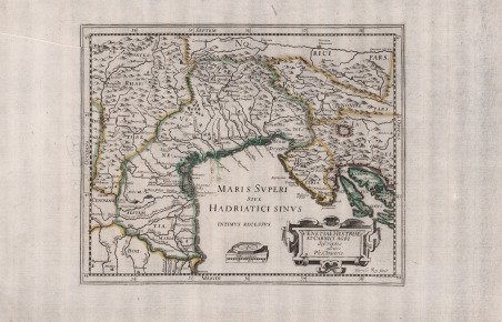
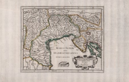
Rara edizione francese, incisa da Henri le Roy. Carta storico geografica tratta da ' Italia Antiqua ' di Philipp Cluver (1580-1623) - noto anche con il nome latinizzato in Cluverius e quello di Cluverio in italiano - geografo tedesco e fondatore della geografia storica. Tra il 1607 e il 1610 viaggiò attraverso varie regioni europee, toccando l’Inghilterra, la Germania, la Francia e l’Italia, dove fece un ulteriore viaggio tra il 1616 ed il 1618. La celebre opera conobbe una prima edizione nel 1624 a Leida, con le mappe incise da Nicolas van Geelkercken (1585-1656). Dell’opera del Cluver sono note numerose ristampe sia a Leida che in altre città europee; tutte comprendono mappe basate sulle originali del Geelkercken, ma incise da altri artisti. Le carte furono ristampate, in forma ridotta, in primis da Hendrick Hondius. ' ' La più rara ristampa viene pubblicata a Parigi nel 1659 con le lastre rifatte dall'incisore francese Henri le Roy come si legge nell'angolo di sinistra della nostra mappa. Henri Le Roy (1579-1652) fu un incisore ed editore nato a Rotterdam e sposato a Parigi nel 1604. Ha prodotto una serie di disegni ispirati al mondo naturale, incorporando uccelli, insetti e piante nel suo lavoro. È il caso di questa serie di sette disegni di fregio, che potrebbero essere stati utilizzati come disegni per ornamenti architettonici, tessuti o altri oggetti. Nel settore cartografico sono note alcune mappe, tra le quali una carta del mondo, di derivazione da Hendrick Hondius. Acquaforte, con coloritura coeva dei contorni, in ottimo stato di conservazione. The rare French edition, engraved by Henri le Roy. Historical-geographical map taken from the ' Italia Antiqua ' by Philipp Cluver (1580-1623) - also known by the Latin name Cluverius and the Italian name Cluverio - German geographer and founder of historical geography. Between 1607 and 1610 he traveled through various European regions, touching England, Germany, France and Italy, where he made a further journey between 1616 and 1618. The famous work had a first edition in 1624 in Leiden, with maps engraved by Nicolas van Geelkercken (1585-1656). Numerous reprints of Cluver's work are known both in Leiden and in other European cities; all of them include maps based on Geelkercken's originals, but engraved by other artists. The maps were reprinted, in reduced form, primarily by Hendrick Hondius. ' ' The rarest reprint was published in Paris in 1659 with the plates redone by the French engraver Henri le Roy as shown in the left corner of our map. Henri Le Roy (1579-1652) was an ' engraver and publisher born in Rotterdam and married in Paris 1604. He produced a number of designs inspired by the natural world, incorporating birds, insects and plants into his work. Such is the case in this series of seven frieze designs, which could have been put to use as designs for architectural ornaments, textiles or other objects. In the field of cartography are known some maps, including a map of the world, derived from Hendrick Hondius. Etching, with coeval coloring of the outlines, in excellent condition. Cfr.


Find out how to use
Find out how to use

