Questo sito usa cookie di analytics per raccogliere dati in forma aggregata e cookie di terze parti per migliorare l'esperienza utente.
Leggi l'Informativa Cookie Policy completa.

Prints

MUENSTER SEBASTIAN

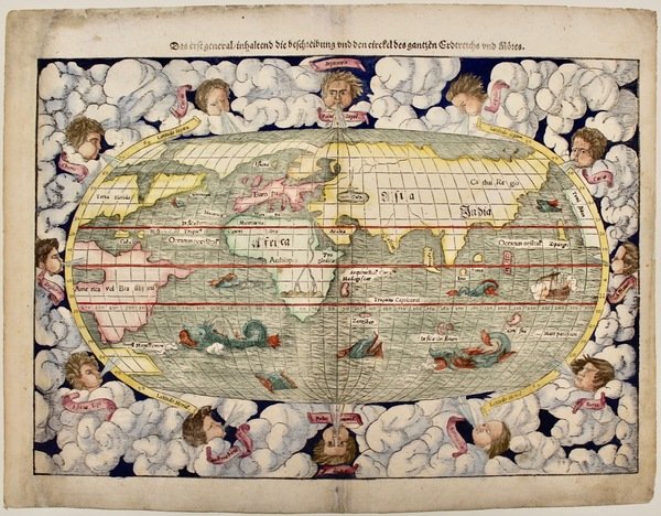
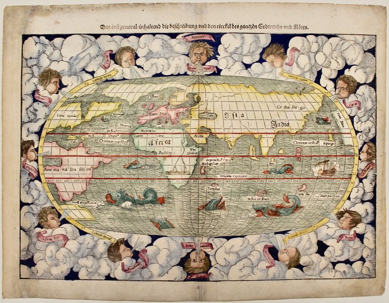
Das erst general/inhaltend die beschreibung und den Circkel des gantzen Erdtreichs und Möres

1550

1800.00 €

Perini Libreria Antiquaria

(Verona, Italy)

Ask for more info

Payment methods

Details

Year of publication
1550
Place of printing
Basilea
Engravers
MUENSTER SEBASTIAN
Keyword
Planisfero Mappamondo

Description

Silografia, mm 265x385. Testo tedesco in alto ed al verso. Tratta da una edizione tedesca della "Cosmographia universalis". Attraente esemplare del secondo planisfero utilizzato da Münster (dal 1550 fino al 1588). Nella parte inferiore non si sviluppa ancora (come nel terzo mappamondo invece) la Terra incognita, un vasto continente che secondo antiche credenze doveva bilanciare le terre emerse dell'emisfero boreale. L'America è ancora nella sua primitiva forma appena abbozzata. La carta in forma ovale è completamente circondata da un'ampia bordura con nuvole e venti animati in forma di putti che soffiano. Buon esemplare con un restauro a sinistra e parziale reintegro di piccola parte delle nubi in basso; il margine bianco è reintegrato. Difetti del tempo (piccoli strappetti o tracce di sporco) agli altri margini. Shirley, The mapping of the world, 92.<BR>Woodcut, mm 245x383. From a german edition of Sebastian Münster's Cosmographey oder beschreibung aller Länder, published by Heinrich Petri in Basel<BR>An attractive example of Sebastian Munster's 1588 map of the world. Munster presents us with an expansive view the world with a number of interested cartographic features. Along the bottom of the map the dramatic unknown southern continent (Terra Australis Nondum Congnita) stretches to include the discovered lands of Tierra de Fuego and what appears to be a proto-Australia. South America bears the characteristic western budge in the vicinity of Chile that appeared on many early maps. The cartographer also maps a impressive and seemingly navigable northwest and northeast passages. <BR>The map is oval in form and surrounded by elaborate vine and leave engraving. German text appears above and below the map proper describing the lands contained. The verso contains German text describing the earth. The title appears over the map in German text of a Gothic ethic. Very good condition apart two insignificant tiny worm holes and some light paper oxidation. <BR><BR>