Questo sito usa cookie di analytics per raccogliere dati in forma aggregata e cookie di terze parti per migliorare l'esperienza utente.
Leggi l'Informativa Cookie Policy completa.

Prints

HUSSON Pierre

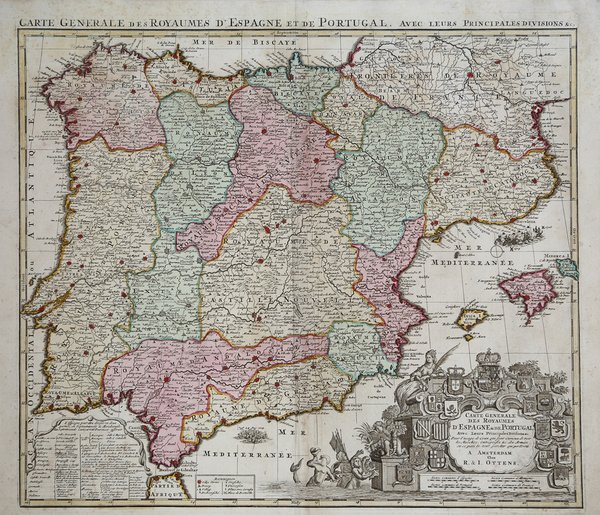
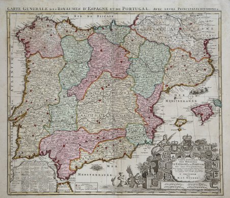
Carte General des Royaumes d'Espagne et de Portugal, avec Leurs Principales Division & C.

1706

450.00 €

Antiquarius Libreria

(Roma, Italy)

Ask for more info

Payment methods

Details

Year of publication
1706
Place of printing
L'Aia
Size
580 X 505
Engravers
HUSSON Pierre

Description

Mappa rara di Spagna e Portogallo, pubblicata da Perre Husson all'Aia (Den Haag), che identifica una serie di battaglie significative combattute durante la guerra di successione spagnola.Esemplare del secondo stato, pubblicato da Rainer & Joshua Ottens, Amsterdam intorno al 1750.La mappa include una serie di battaglie, tra cui una rappresentazione grafica della battaglia navale di Velez-Malaga (24 agosto 1704), la più grande battaglia navale combattuta durante la guerra di successione spagnola, insieme a una rappresentazione di una più grande battaglia navale al largo la costa catalana, rappresentante dell'assedio di Barcellona da parte degli inglesi sotto il conte di Peterborough. Altre battaglie notate includono la Baia di Vigo (23 ottobre 1702) e l'assedio di Gibilterra (24 luglio 1704).Il dettaglio nella mappa è eccellente, inclusa una rappresentazione delle strade in tutta la penisola iberica.La mappa comprende 16 stemmi, montati su un cartiglio elegantemente inciso.Incisione in rame, bella coloritura coeva, in ottimo stato di conservazione. Rare map of Spain and Portugal, published by Perre Husson in the Hague (Den Haag), identifying a number of the significant battles fought duing the war of Spanish Succession.Example of the second state, published by Rainer & Joshua Ottens, Amsterdam circa 1750.The map includes a number of battles, including a graphic depiction of the naval Battle of Velez-Malaga (August 24, 1704), the largest naval battle fought during the War of the Spanish Succession, along with a representation of a larger naval battle off the Catalan Coast, representative of the Siege of Barcelona by the British under the Earl of Peterborough. Other battles noted include the Bay of Vigo (October 23, 1702) and the Siege of Gibraltar (July 24, 1704).The detail in the map is excellent, including a depiction of the roads throughout the Iberian Peninsula.The map includes 16 coats of arms, mounted on an elegantly engraved cartouche. A fine example of this rare and highly detailed map.Copperpalte with fine original colour, very good condition. Cfr.
Logo Maremagnum en